
Department : GEOGRAPHY SOCIETY
From : 14-03-2026 To Date : 14-03-2026
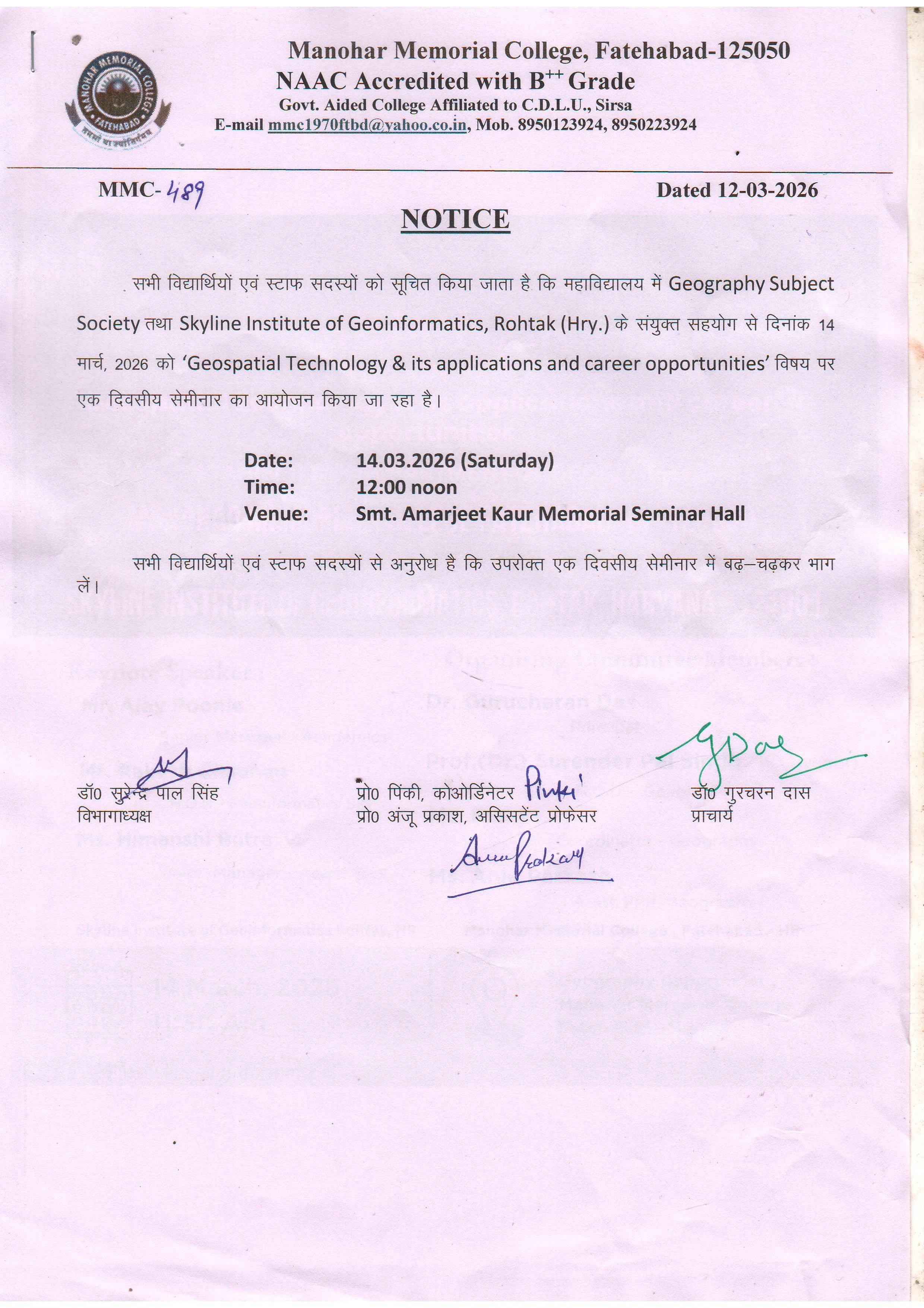
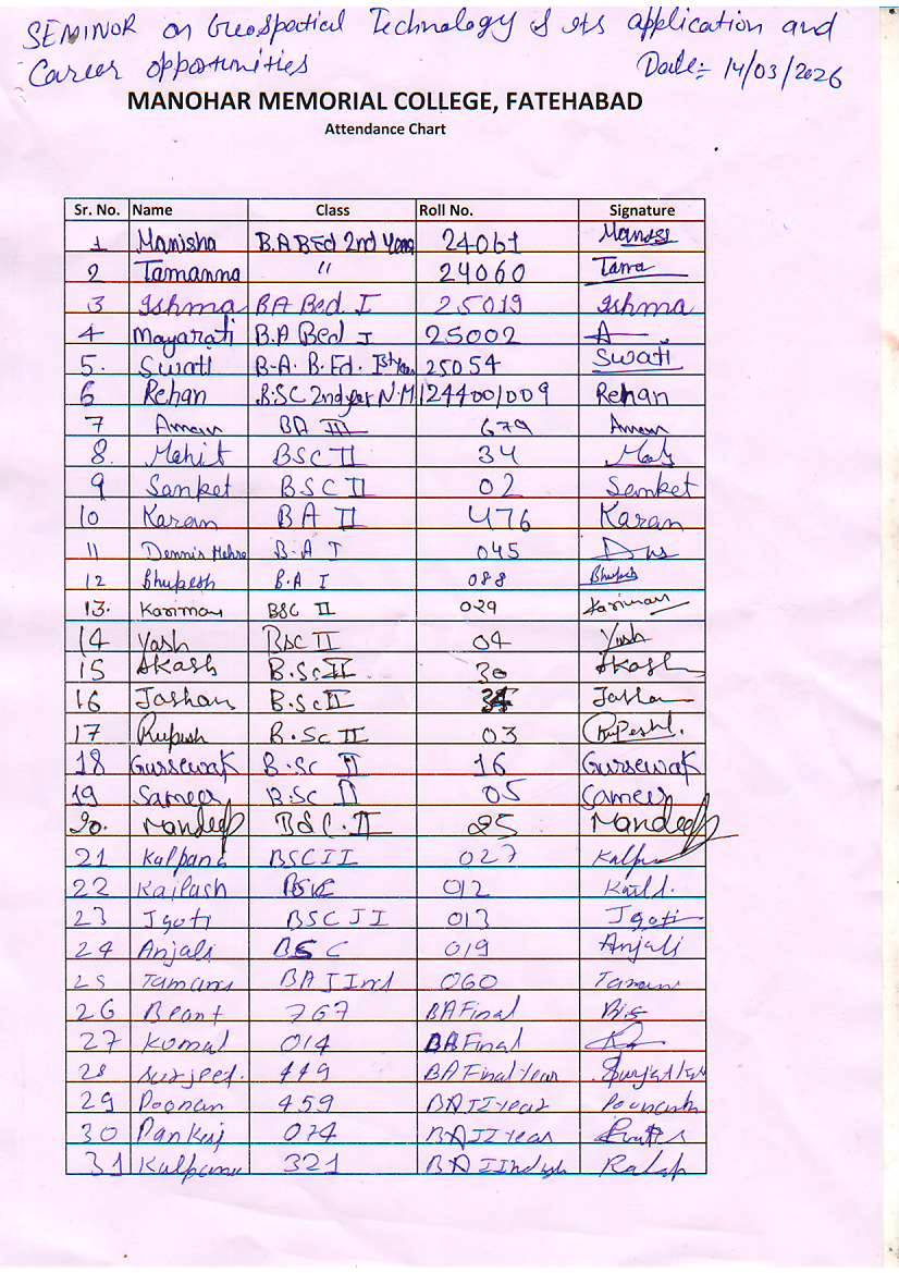
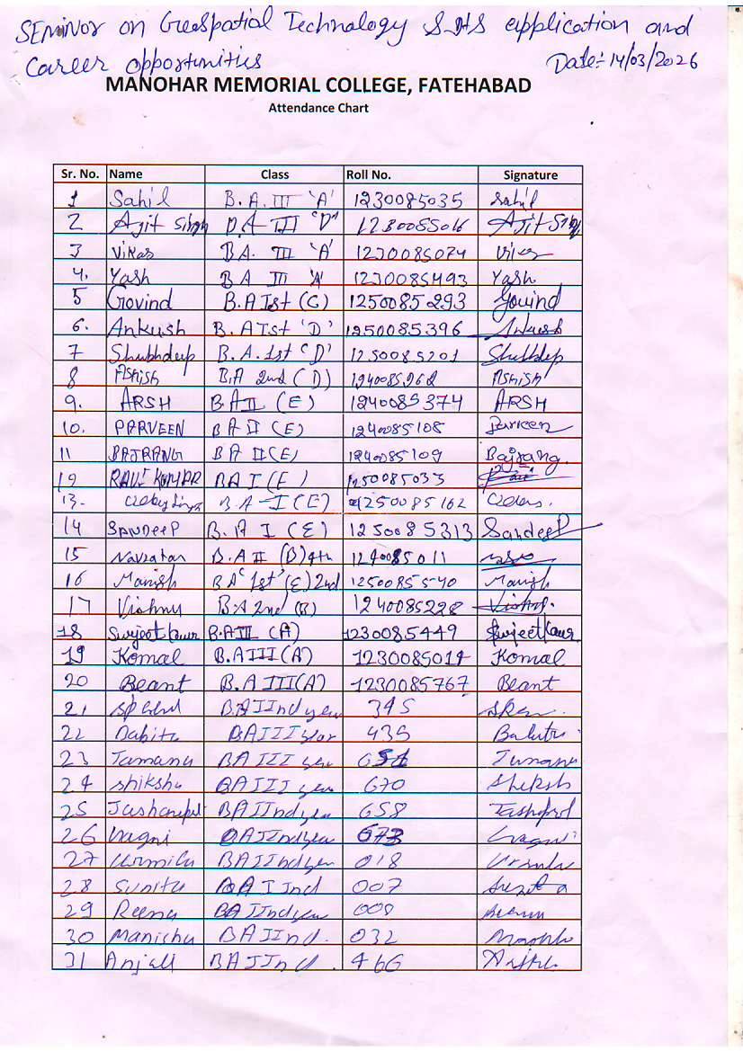
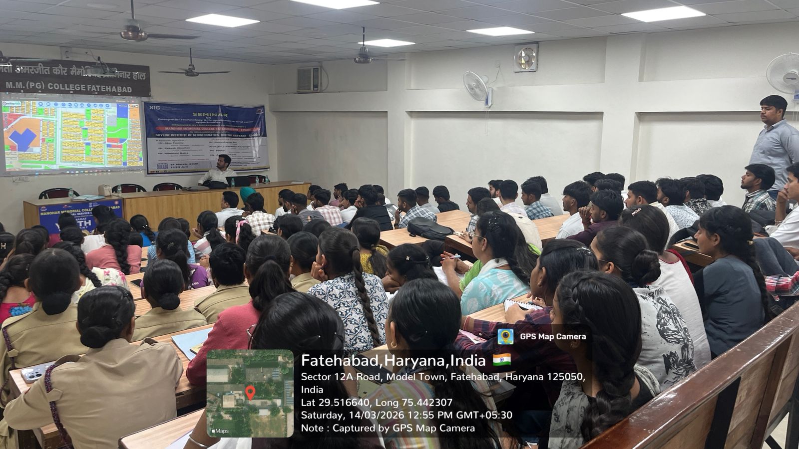
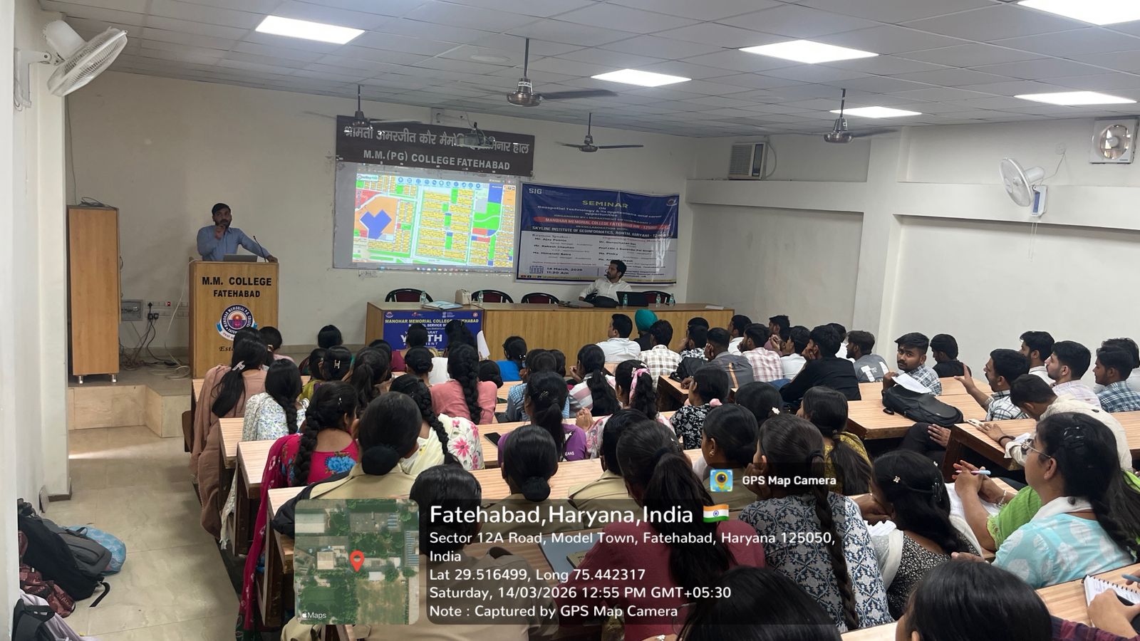
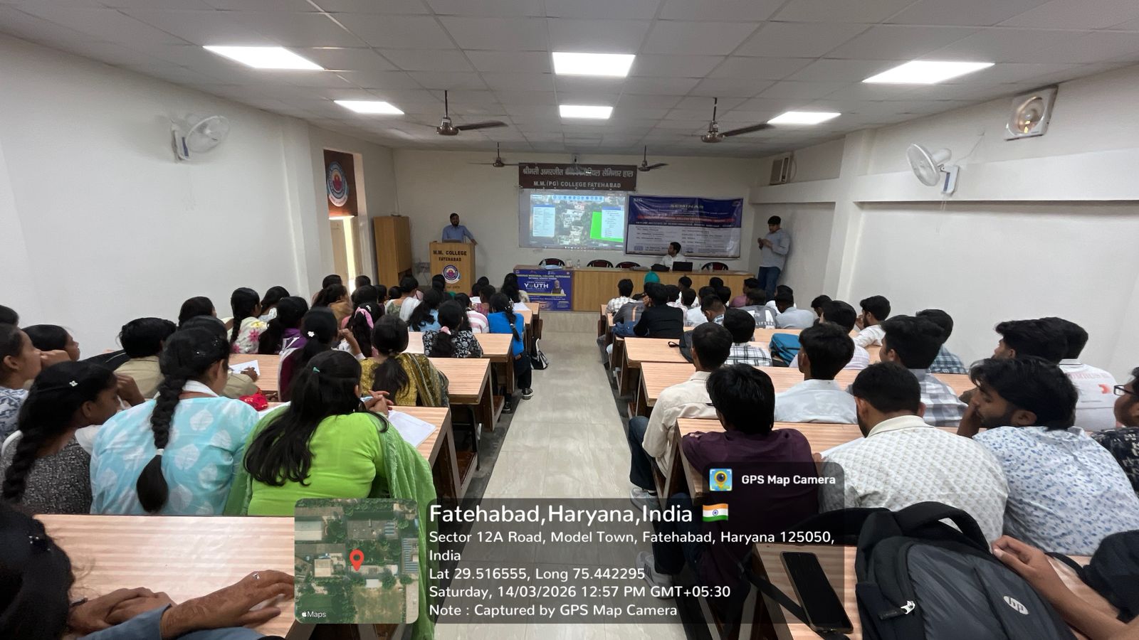
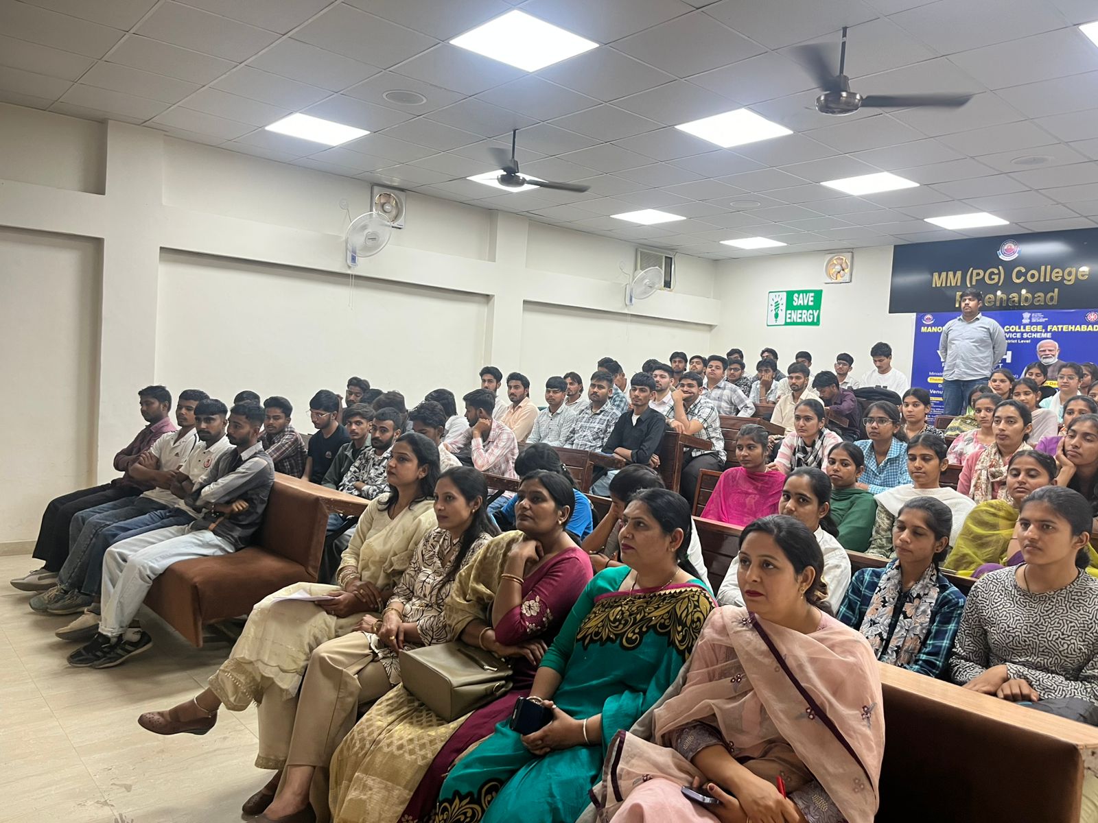
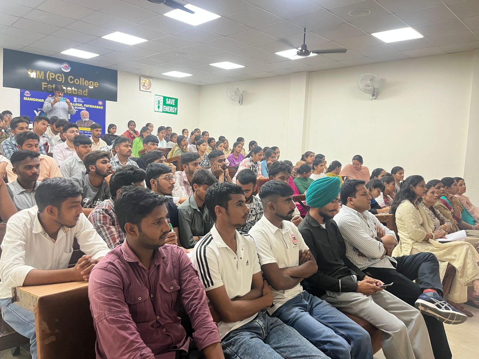
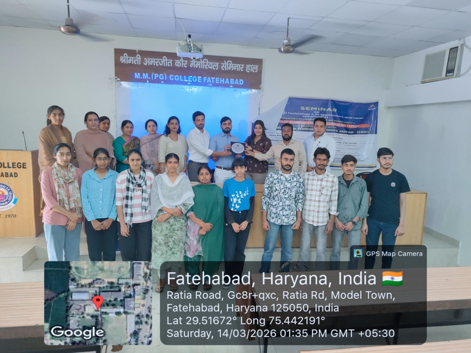
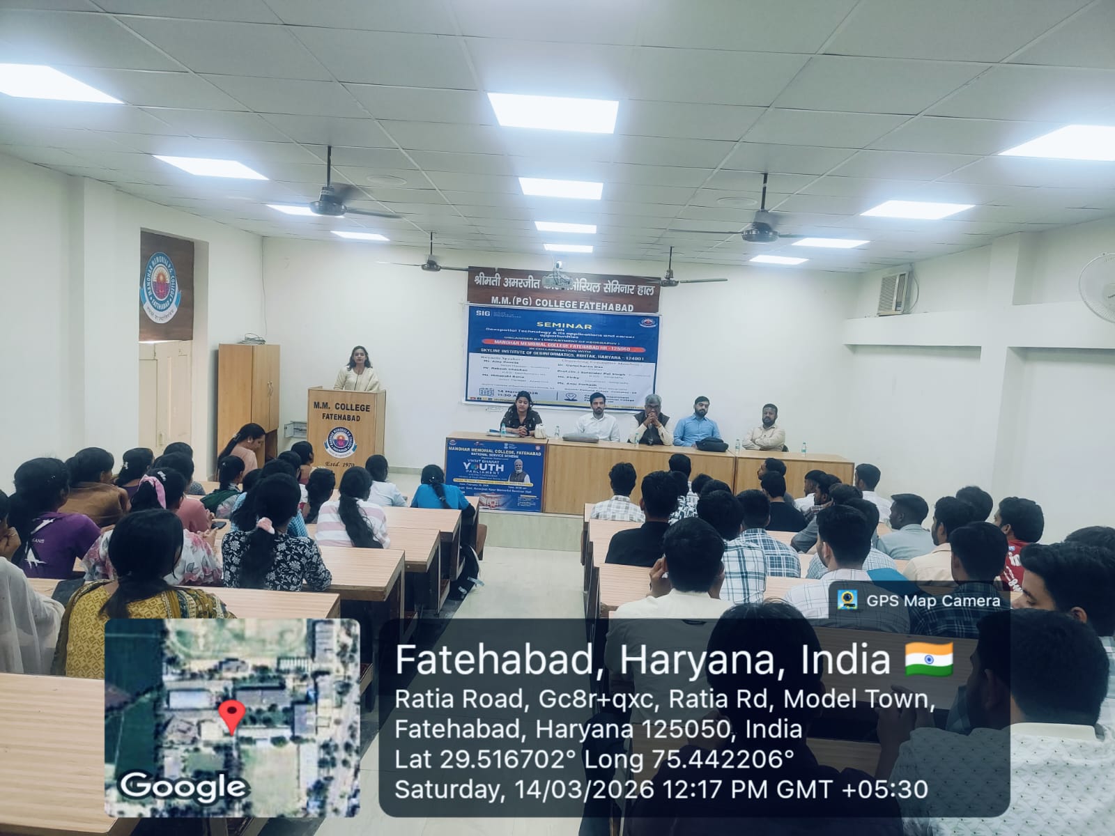
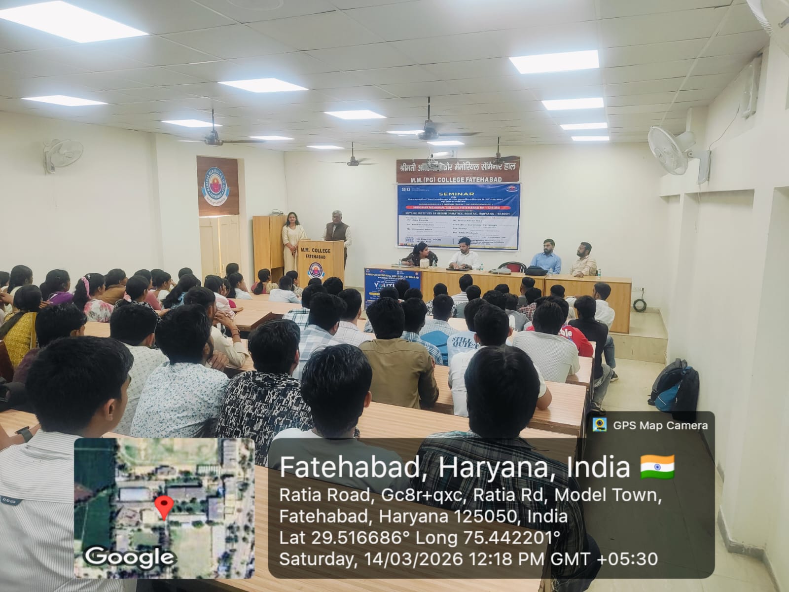
The seminar on “Geospatial Technology & Its Applications and Career Opportunities” was organized with the objective of creating awareness among students about the growing importance of geospatial technologies in today’s world. The session focused on modern tools like GIS, Remote Sensing, and GPS, which are widely used in fields such as urban planning, disaster management, environmental monitoring, agriculture, and transportation. Experts from Skyline Institute of Geoinformatics explained the practical aspects of geoinformatics and demonstrated how spatial data is collected, analyzed, and interpreted using advanced software and techniques. They also highlighted real-world case studies to help students understand the application of these technologies in solving geographical and environmental problems. The speakers guided students about various career opportunities available in this field, including jobs in government organizations, private companies, and research institutions. They also informed about different professional courses and certifications that students can pursue after graduation to build a successful career in geospatial technology. An interactive session was also conducted where students actively asked questions related to career paths, required skills, and future scope. The experts provided clear and motivating answers, encouraging students to explore this emerging field. Overall, the seminar successfully enhanced the knowledge and interest of students towards geospatial technology and inspired them to consider it as a promising career option.

Last Updated : July 26, 2026